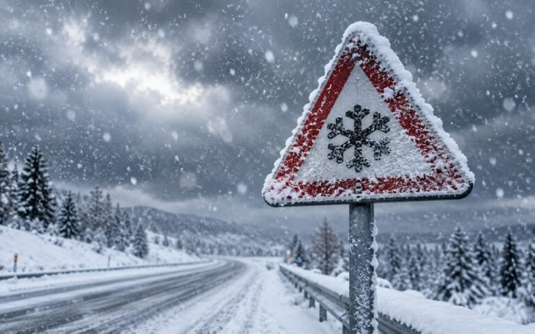
Half the fun of winter is trying to call the snow day before the official announcement. While no one can guarantee it, there are real, readable signs that tip the odds. Learn these and you will usually know by bedtime whether to get your hopes up.
Here are seven signs to watch, from the forecast itself to the small clues around your neighbourhood.
1. A Winter Storm or Ice Warning for the Morning
The single strongest sign is an official alert that covers the overnight-to-morning window. A winter storm warning or, even more telling, an ice storm warning from your national weather service is a serious signal. These are only issued when significant, disruptive weather is likely, not merely possible. Learn to tell them apart in winter weather warnings explained.
2. Snow or Ice Timed to the Commute
Check when the heaviest precipitation is expected. If the forecast shows snow or freezing rain arriving between roughly 5 a.m. and 9 a.m., the odds jump, because that is exactly when buses and parents would be driving. Snow that ends well before dawn gives crews time to clear it and favours a normal or delayed day.
3. Temperatures At or Below Freezing
Watch the overnight low and the morning trend. If temperatures sit at or below freezing through the commute, any precipitation is likely to stick as snow or ice. If a warm-up is expected by sunrise, roads may clear on their own and lower the odds.
4. Freezing Rain in the Forecast
Any mention of freezing rain, sleet or an “ice accretion” amount deserves attention. Ice is far more disruptive than the equivalent snowfall and is a reliable closure trigger even in small quantities. One tenth of an inch of ice can do more than several inches of powder.
5. The Storm Is Getting Worse, Not Better
Forecasts evolve through the evening. If each update is nudging snowfall totals up, widening the warning area or pushing the start time earlier, momentum is against a normal school day. A forecast that is being downgraded hour by hour is a sign to temper expectations.
6. Early Action Around Town
Local behaviour is a quiet tell. Pre-treatment brine lines on the roads, supermarkets busier than usual, and neighbouring districts announcing early closures all suggest the authorities are taking the storm seriously. When one district calls it the night before, nearby ones often follow in the morning.
7. A High Score on a Snow Day Calculator
Rather than juggling all of the above, let a tool do the combining. Our Snow Day Calculator reads live snowfall, temperature, precipitation and wind for your location and returns a single likelihood score. A high score the night before is your cue to prepare; a low one is reassurance. It is the fastest way to turn scattered clues into one clear read.
Putting the Signs Together
No single sign is decisive, but they stack. An ice warning plus freezing temperatures plus a worsening forecast plus a high calculator score is about as strong as an unofficial prediction gets. One mild sign on its own usually means business as usual.
For a sense of how reliable these predictions can be, our honest take on how accurate snow day calculators are is worth a look.
Conclusion
Predicting a snow day is really about reading the right signals: the official warnings, the timing, the temperature and the direction the forecast is heading. Combine those with a quick check on our Snow Day Calculator, and you will usually know which way the morning is leaning, well before the phone rings. Just remember the official call always belongs to your district.